SeaSpatial has applied Geographic Information System (GIS)
techniques to a broad-array of projects around the world. From
calculating the amount of sediment entering a river in the
Philippines to predicting fish presence based on dissolved oxygen in
central California, we have leveraged our knowledge and experience
and applied cutting-edge spatial techniques to deliver the highest
quality products to our clients.
Web-based Mapping
Web-based mapping is the future of GIS and we have been keeping
pace. Our experience ranges from deploying and managing
open source web
mapping applications such as GeoServer to the industry-standard
ESRI ArcGIS Enterprise. Working with our clients we have developed web
based spatial data and geoprocessing tools, and have deployed web
mapping solutions using ESRI,
Mapbox, Leaflet, and
Google Maps
JavaScript APIs.
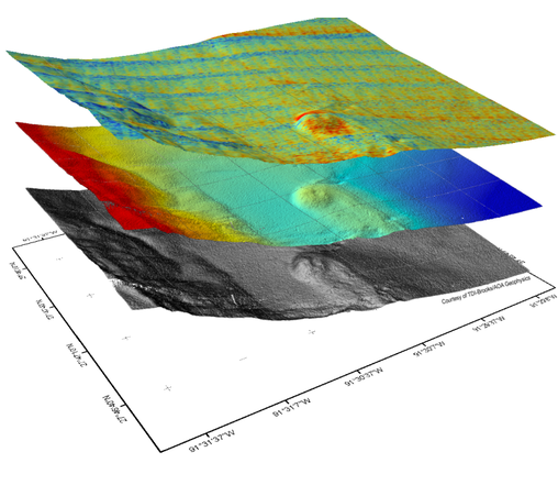
Subsea GIS
We have been a pioneer in the use of GIS for subsea field
planning and management for life-of-field, contributing to the
development of a unique subsea geodatabase of global assets. This
subsea GIS has been used for planning, FEED, installation,
production, and Integrity Management, reducing risk and reducing
costs, while creating cleaner, safer operations.