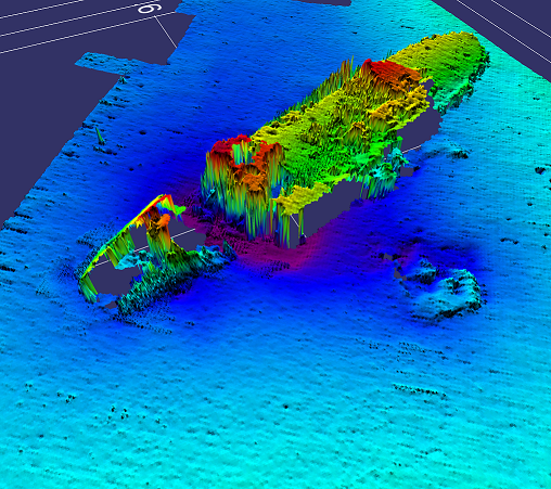
SeaSpatial provides a full range of seafloor mapping and geophysical survey services for various projects, such as pipeline surveys, exploration, geohazards, offshore construction, fish habitat characterization, or research. Our client representation services can assist with all stages of a survey program, from writing the tender to acquire survey services, to providing onboard QA/QC, daily reports, delivering a complete GIS package at the dock, and producing a final report for the completed survey. We can also provide personnel for multibeam and sidescan sonar data acquisition and processing.
Services:
Client Representation
- Tender writing
- Survey planning
- Onboard QA/QC
- Daily reporting
- GIS Deliverables
Data Processing
- Multibeam
- Sidescan Sonar
